- Hotels
- Rent-A-Car
- Routs
Benguela City Itinerary
Benguela is a city and municipality, capital of Benguela Province, in western Angola, composed solely of the central commune, which is organized into six zones.
It borders the municipality of Catumbela to the north, the municipalities of Bocoio and Caimbambo to the east, the municipality of Baía Farta to the south, and the Atlantic Ocean to the west.
The term “Benguela” is believed to be of Umbundu origin, derived from the terms “venga” or “mbenga,” from the verb “okuvenga” or “okuvengela,” which in Portuguese means “to dirty or cloud,” a meaning associated with the waters of the Catumbela River; it may also mean “dark or opaque,” related to the formerly dense forest surrounding Baía das Vacas.
Itinerary Map
-
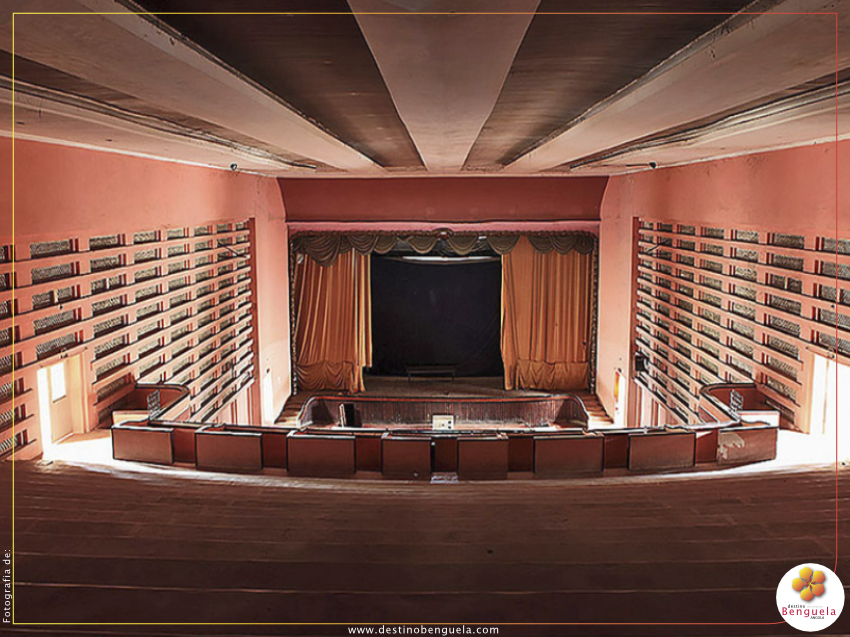
Cine Monumental – Built during the 1950s, designed by architect Fernando Batalha.
It was inaugurated on June 10, 1952, with a screening of the film Teresa Venerdi, by Vittorio De Sica.
Initially, it was designed to accommodate more than 1,300 people: 884 seats in the stalls, 416 in the balcony, 16 boxes, and nine private boxes.
- Largo de Africa Garden
- Benguela Municipal Administration
- Benguela Municipal Administration Garden
- BNA Building
- Church of Nossa Senhora do Pópulo – In the tricentennial city of São Filipe de Benguela, the Church of Nossa Senhora do Pópulo was the only temple that withstood the harshness of time and the abandonment by the faithful.
- Pioneer's Square;
- Portuguese Consulate of Benguela;
- Pópulo Straight Road;
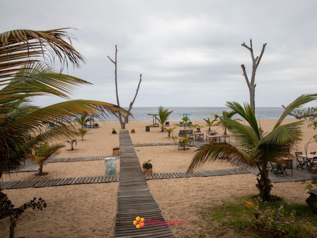
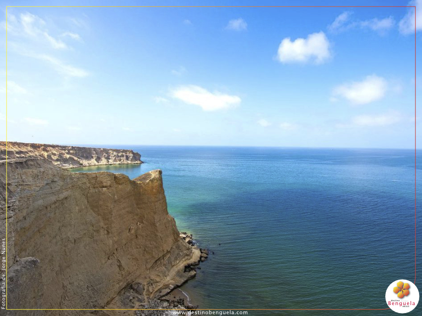
- Praia Morena – Praia Morena is located in Benguela Province, in the city of Benguela. It is bathed by the Atlantic Ocean and is one of the most well-known beaches in Angola.
- Governor’s Palace –
- National Archaeology Museum
- Market Square;
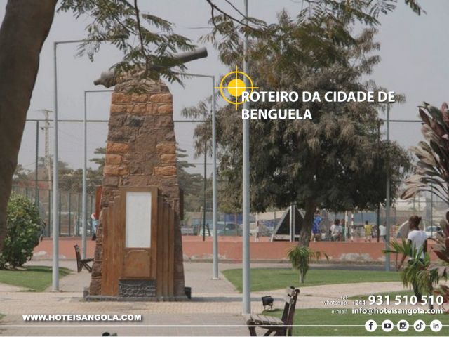
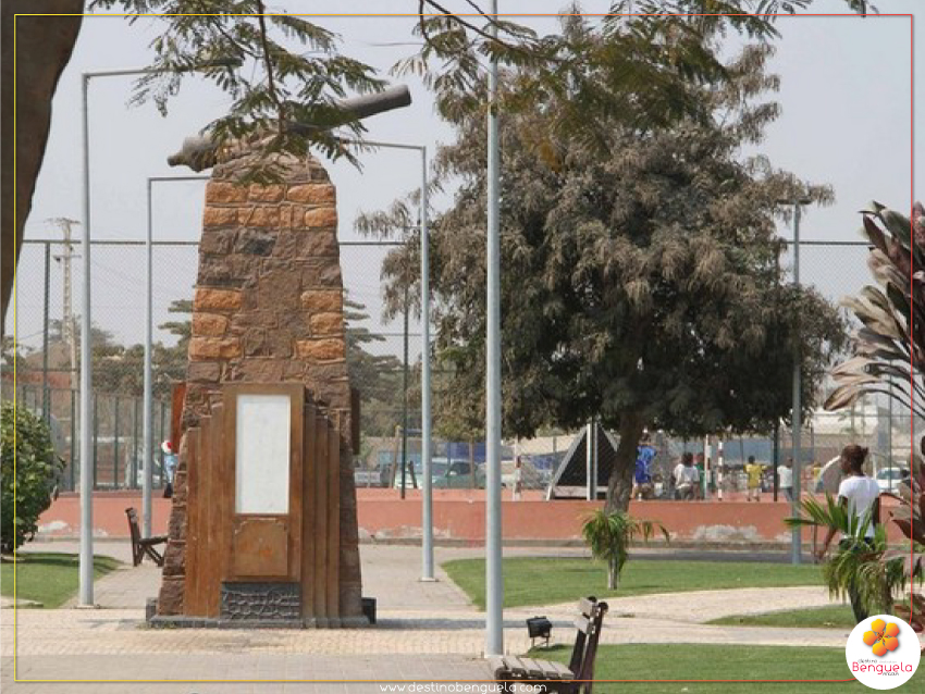
- Aircraft Carrier Monument
- Handicraft Shops;
- Kalunga,
- Kalunga Roundabout;
- Tennis Court;
- National Radio Building – Benguela;
- Red Cross Roundabout;
- Cathedral – It was exactly 58 years ago, in 1967, that the Cathedral of Benguela began to take shape.
- National Union of Angolan Workers;
- Post Office
- Municipal Fruit Market
- Largo da Peça -


- Light and comfortable clothing.
- Preferably sports footwear.
- Use of a hat.
- Use of sunscreen.
- Water per participant.
Benguela surrounding area
- from kz 90,000Aparthotel Mil Cidades
- Hotel Praia Morena
- from kz 45,000Hotel Luso
- from kz 20,000Hotel Ombaka Ritz
- from kz 25,000Calmito Aparthotel
- from kz 27,000Residencial Royal Plaza Ombaka
- from kz 35,900Hotel Residencial KUYOYA
- from kz 33,990Hotel Pequeno Brasil
- from kz 22,000Residencial VG - Navegantes
- from kz 22,000Residencial VG - Cidade
- from kz 60,000Residencial Mussenga
- from kz 54,500Flow Hotel
- from kz 19,500Residencial Azul
- from kz 20,000Residencial Filipa
Lobito More
- from kz 36,800Hotel Chik Chik II
- from kz 78,000Hotel Turimar
- from kz 30,000Uami Guest House
- from kz 50,000Hotel H&L
- from kz 70,000Pink House
- from kz 16,000Residencial Rosalina Express
- from kz 45,000Baía da Restinga - Guest House
- from kz 45,000Oceano Boutique Hotel
- from kz 80,500Aparthotel Aurora
- from kz 75,000Almar Aparthotel
Baía Farta surrounding area
- from kz 55,000Hotel Duas Faces
- from kz 75,000Lodge Kapembawé
- from kz 115,000CV Lodge & Spa
Cubal surrounding area
- from kz 21,400Hotel Cadinos Cubal
Dombe Grande surrounding area
- from kz 22,000AN House
Support Line
Available every day from 8:00 AM to 10:00 PM. Allows you to clarify doubts, support reservations, and guide you in choosing the best accommodation and tourist services.
DIY Itineraries

Luanda Historical and Cultural Tour

Wonders of the Desert Itinerary

Huila Wonders Tour

Itinerary from Menongue to Lubango

Cuito Cuanavale itinerary

Saco Mar itinerary

Moçâmedes Basic Route

Basic Caotinha Route

Huambo Basic Route

Lubango Basic Route

Wonders of Malanje Tour

Beaches in the South of Benguela

Catumbela itinerary

Dombe Grande itinerary

Benguela City Tour

Conda's itinerary

Itinerary to Egypt Beach

Lobito City Tour

Route from Huila to Chibia

Humpata itinerary
Where to eat in the province of Benguela - by: Destinobenguela.com
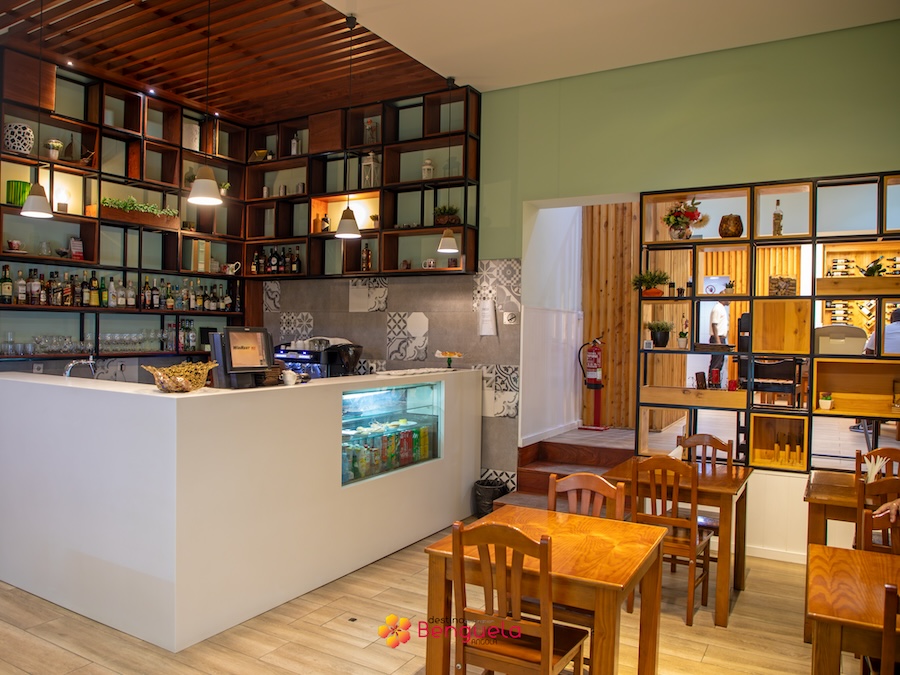
Tudo na Brasa Restaurant

Tudo na Brasa Restaurant
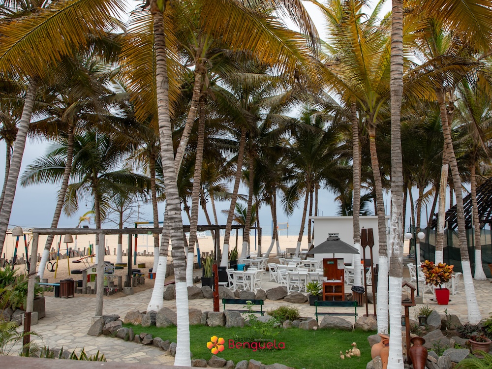
Alfa Beach Bar