- Hotels
- Rent-A-Car
- Routs
Muene Vunongue Fort
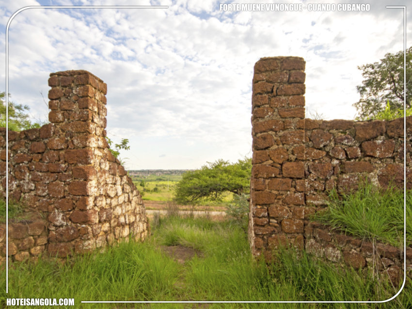
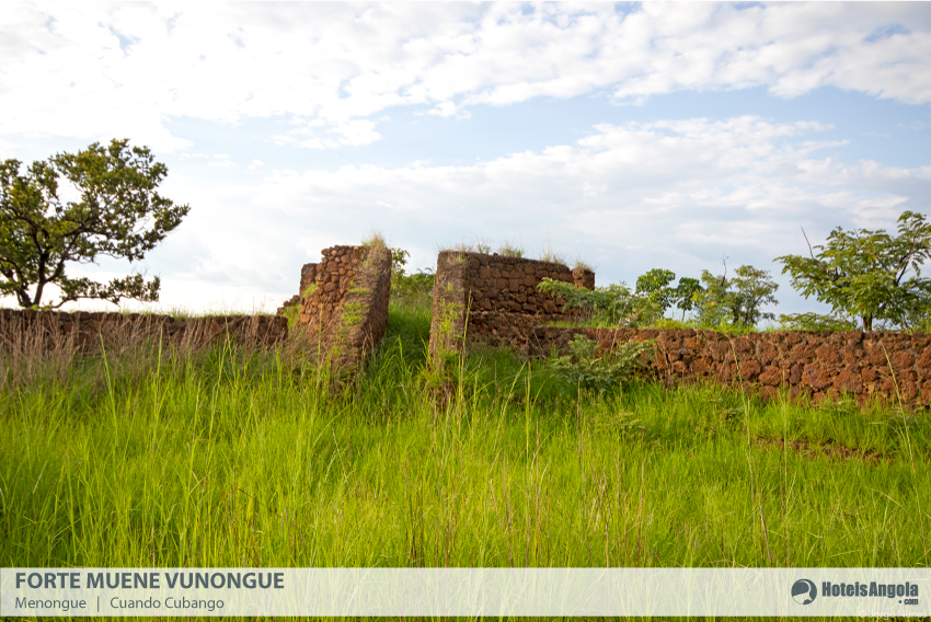
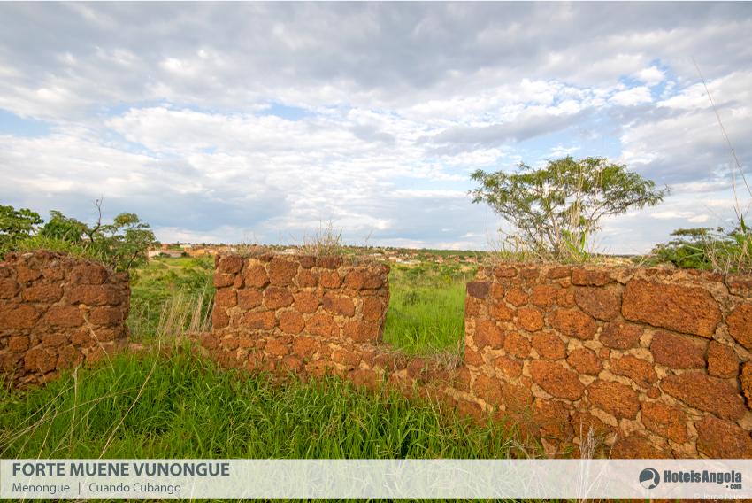
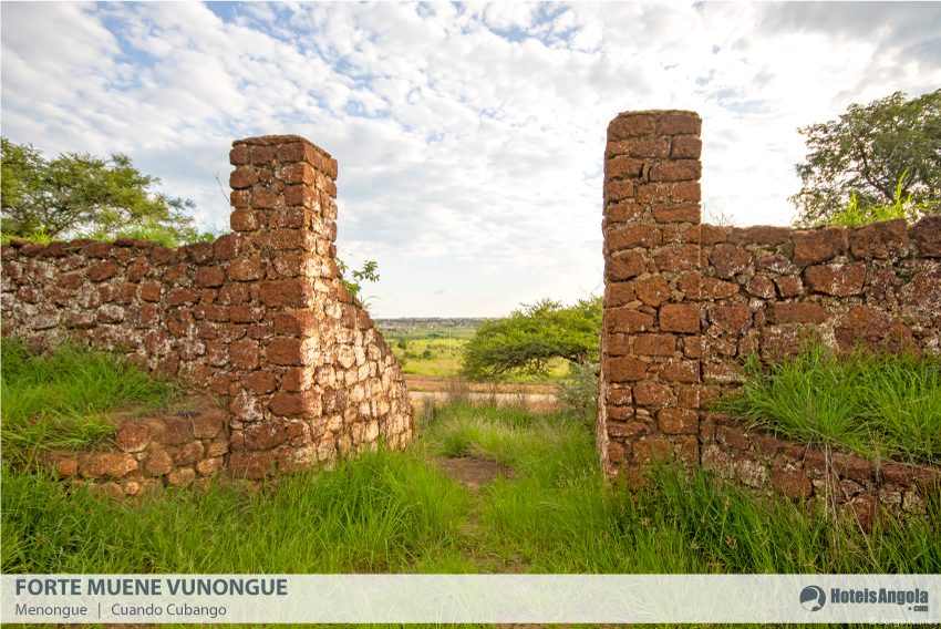
Built in 1887 to secure the Portuguese position in the region, Fort Muene Vunongue (also known as Fort de Menongue) was the origin of the formation of Serpa Pinto, some kilometers to the south, at the confluence of the Cuebe and Luauca rivers. The traces of
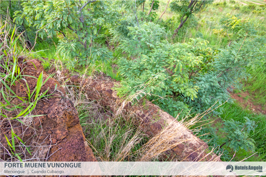
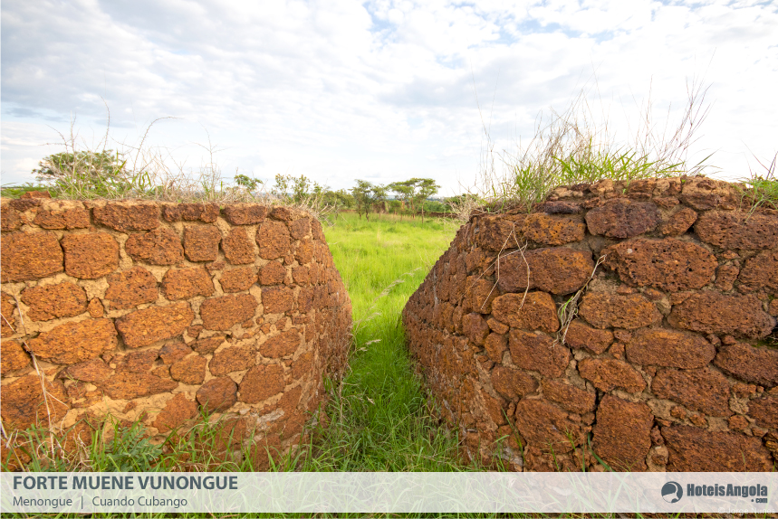
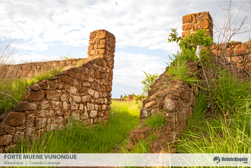
The remains of this construction are still relevant, despite being visibly degraded, and are included on the list of classified cultural heritage of Angola, by order no. 21-A, of 18.04.1994.
Historical Setting and Urbanism
Located in the so-called "lands at the end of the world", the town of Serpa Pinto (currently Menongue) was established in the first quarter of the 20th century following the colonial occupation effort, located close to Forte Menongue, at the confluence between the Cuebe and Luauca rivers.
It experienced significant growth from the 1950s onwards, with the consolidation of major transport infrastructures, highlighting the arrival of the Moçâmedes railway to Serpa Pinto, its terminal point, in the year of 1961.
Presenting until late a minor occupation, developed mainly along the regional circulation axes, the population increase of the 1950s created the need to regulate its urban growth.
The first known urbanization studies for the city date back to the 1960s, where a large part of the city's central fabric (current Bairro Centro) is defined.
Observing the rapid growth of the agglomeration, an urbanization plan was carried out in 1972 that envisaged the expansion of the central nucleus and the construction of peripheral neighborhoods, as well as road axes for peripheral circulation.
Independence interrupted the implementation of these instruments, with the old convergent structure in the Centro Neighborhood persisting to this day, which now responds to an urban fabric much broader.
Historical Setting and Urbanism
Located in the so-called "lands at the end of the world", the town of Serpa Pinto (currently Menongue) was established in the first quarter of the 20th century following the colonial occupation effort, located close to Forte Menongue, at the confluence between the Cuebe and Luauca rivers.
It experienced significant growth from the 1950s onwards, with the consolidation of major transport infrastructures, highlighting the arrival of the Moçâmedes railway to Serpa Pinto, its terminal point, in the year of 1961.
Presenting until late a minor occupation, developed mainly along the regional circulation axes, the population increase of the 1950s created the need to regulate its urban growth.
The first known urbanization studies for the city date back to the 1960s, where a large part of the city's central fabric (current Bairro Centro) is defined.
Observing the rapid growth of the agglomeration, an urbanization plan was carried out in 1972 that envisaged the expansion of the central nucleus and the construction of peripheral neighborhoods, as well as road axes for peripheral circulation.
Independence interrupted the implementation of these instruments, with the old convergent structure in the Centro Neighborhood persisting to this day, which now responds to an urban fabric much broader.
Menongue, Cubango, Angola
Localização
- Localiddae: Alguns quilómetros a sul, na confluência dos rios Cuebe e Luauca
- Municipio: Menongue
- Provincia: Cuando Cubango
- Coordenadas GPS: -14.65397733059229, 17.680745128137723
Map
Galeria





Youtube
Alojamento
Cubango surrounding area
- from kz 33,000Rio Cuebe Lodge
- from kz 40,000Hotel Ritz Laúca
- from kz 28,500Hotel Ritz Cuchi
Support Line
 WhatsApp
 Telephone
 Email
Email
Available every day from 8:00 AM to 10:00 PM. Allows you to clarify doubts, support reservations, and guide you in choosing the best accommodation and tourist services.

