- Hotels
- Pack`s and Promotions
- Packs and organized circuits
Articles tagged as conda
12 articles found with this tag.
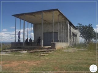
Sanctuary of the Catholic Church - Bairro S. Pedro, 2 km from the Municipal Administration, favorable access road.

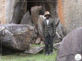
- Calussuva Mountain, 12 km away from the Municipal Headquarters, favorable road condition.
Catumbela Waterfall (Mupa de Mungunda), 22 km from the headquarters of Caconda, the road is in a degraded condition.
Chiolola Mountain, 26 km from the Municipal Headquarters, with a degraded access road.
Tapala Waterfall, 10 km from the headquarters, the access road is in very poor condition.
Crossing the Cunene River – Cacuve-15 km from the Communal Headquarters, reasonable road condition.
Crossing the Cunene River – Cacuve-15 km from the Communal Headquarters, reasonable road condition.
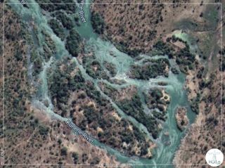
Stone islands on the Cusse River - Boa Vista sector, 20 km from the Gungui Communal Headquarters.
The Cuando, Ke and Cunene rivers surround the communes of Gungui, Cusse and Waba, a relevant water potential, provided by nature to the municipality of Caconda, which, at this time of year, arouses the interest of lovers and appreciators of natural landscapes.
The confluences between the Calai and Cunene Rivers are located north of the Municipality of Caconda and east of the Gungue Commune.
The Cassoco Waterfalls are located north of the Municipality of Caconda and north of the Commune Sede de Caconda.